This week, I traveled east out of Yeruham into the desert. On the satellite image below, Yeruham appears in the northwest quadrant as an irregular oblong grey patch. The large oval to the east of Yeruham in the center of the map is a large crater in the desert. This crater is the second largest crater in Israel, and is several miles across. It looks like a large bowl formed by mountains. The entire area was originally under the ocean. At some point, the earth rose up and the water receeded, creating a large plateau. The plateau cracked in the middle and water, over thousands of years, through erosion, enlarged the crack, creating the crater. One can see fossilized sea shells in the rocks in the crater, evidence that it was orignally under water.
Here's what the road looks like as it winds east of Yeruham approaching the crater.

As you can see, it is a very narrow, winding road.

Here's the view from the edge of the crater. (The day was overcast, so the view is a little hazy.)

With my friend David Biton, I drove down into the crater and out a ravine that provides the only break in the mountains surrounding the crater. We got out of the car and went for a short hike. Here's what the terrain looks like.

We passed camels.

Here you can see fissures in the ground in this photo. The fissures are formed by water in the rainy season.

We climbed down into one of the fissures.

Here's what it looked like inside.

Here you can see a small pool of water at the bottom of the fissure. When it rains hard, the fissure fills up with several feel of water and people swim in it.

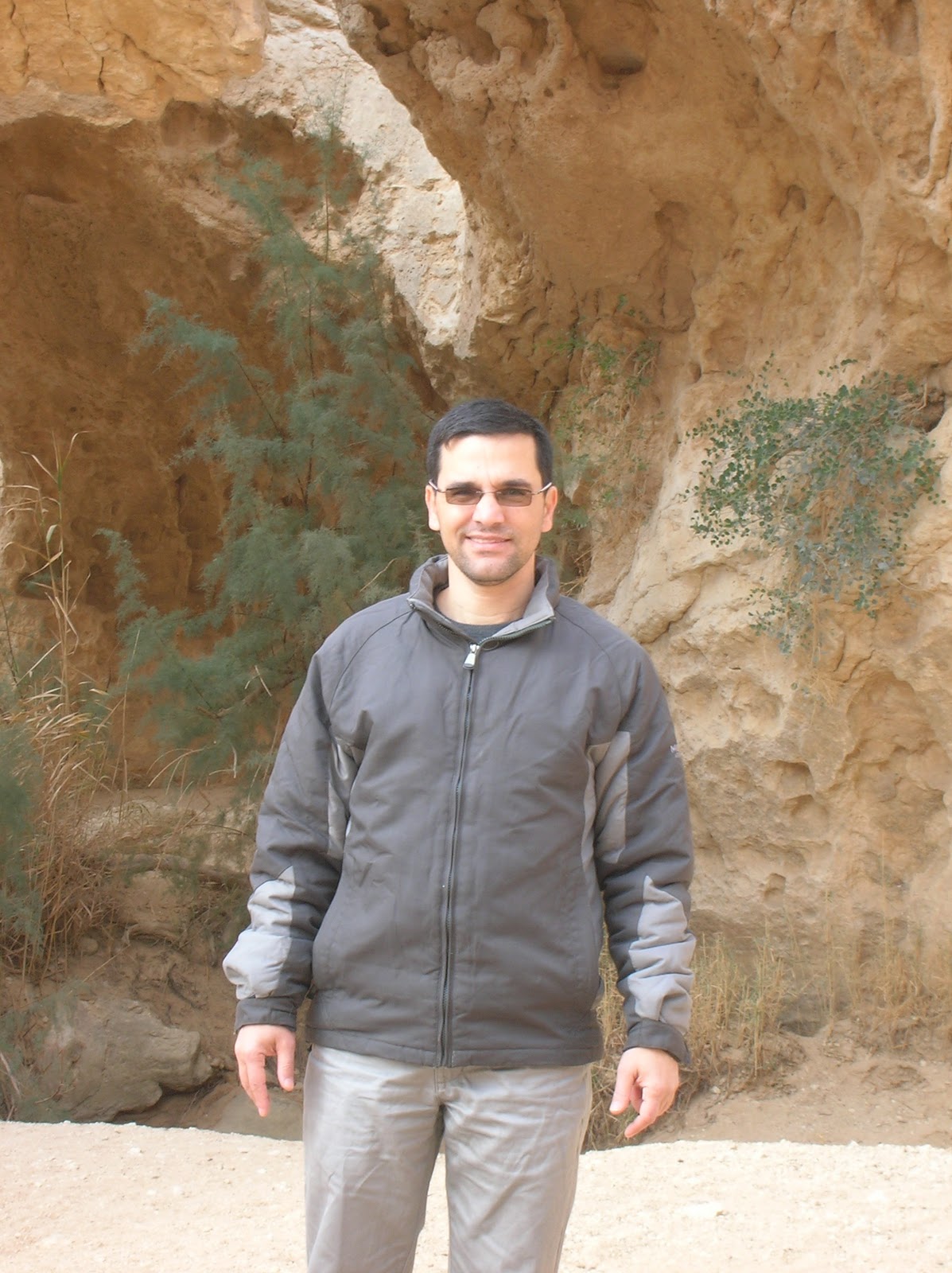
Here's a photo of David.
Steps carved out of the rock led out of the fissure.

No comments:
Post a Comment